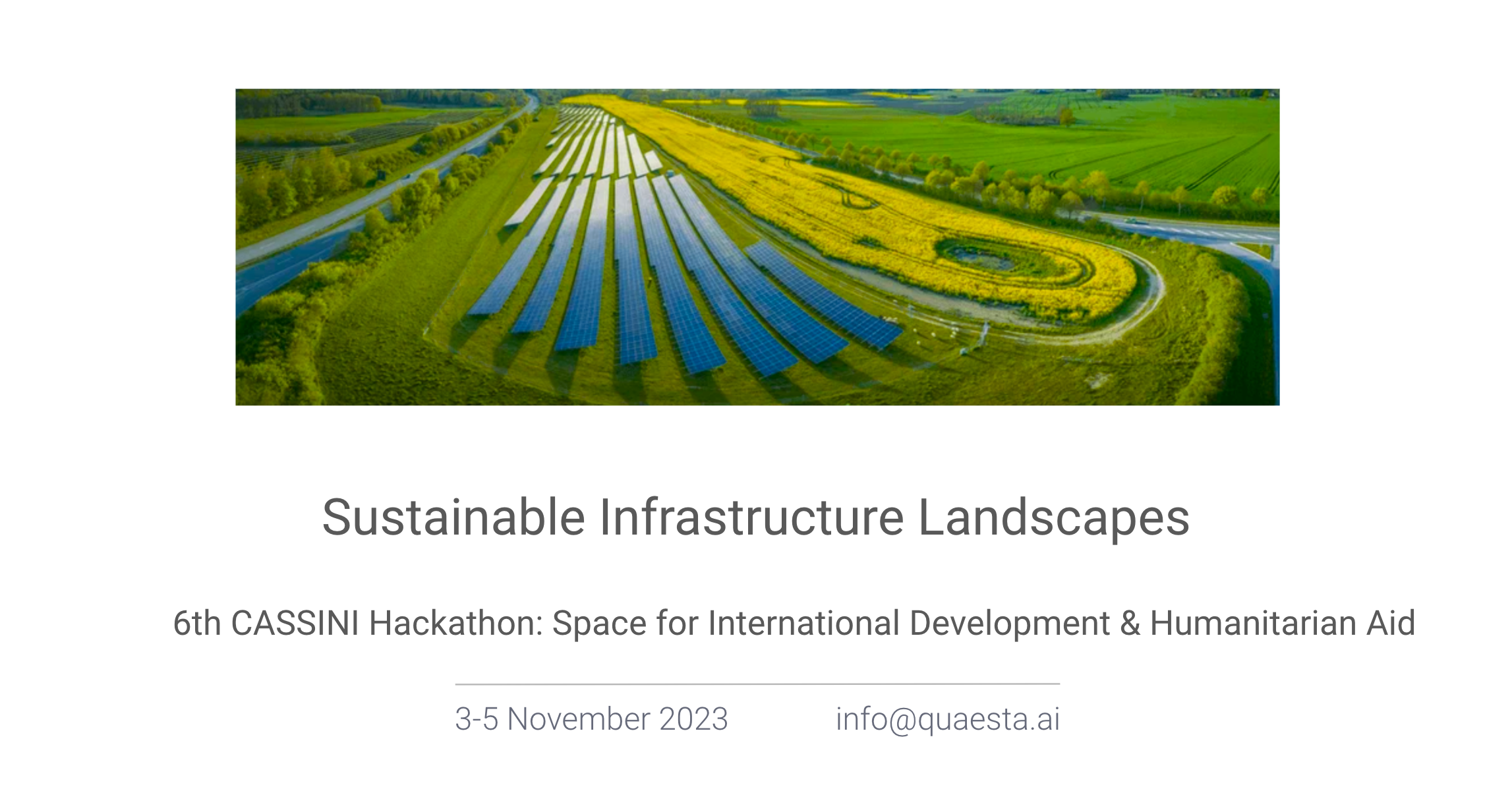
Sustainable Infrastructure Landscapes
Optimizing site location and planning for inherently sustainable infrastructures
- 5,267 Raised
- 779 Views
- 1 Judges
Tags
Categories
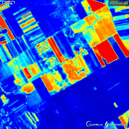
Gallery


Description
💎 Idea
The European Solar PV Market was valued at $37.8B in 2022 and expected to grow to 75+B in 2032, with CAGR 6.9%.
According to the International Energy Agency (IEA), reaching net zero emissions by 2050
requires hydrogen consumption to rise from 87 MtH2 in 2020 to 528 MtH2 in 2050, with an estimated increased demand of green hydrogen 5x by 2025, accompanied by an increased demand of renewable energy power plants, as solar.
We present an integrated decision support framework for solar plant site location based on 16+ heterogeneous data sources. In addition to public available data, our solution is based on AI predictive models for the detection of underground structures, rare vegetation species, and landslides. Our method can also be used to assess the impact of solar infrastructures on the biosphere and ecosystem.
Our solution contributes to addressing the issue of identifying suitable areas for the building of energy power plant infrastructures, by evaluating at an early stage several potential obstacle in the contructions and assessing risk impact factors for sustainable development.
We address the site assessment challenge by comprehensively evaluating the site's suitability for construction while identifying and mitigating potential risk factors, ensuring the development of a sustainable infrastructure landscape.
Vegetation Analysis: Identification of various plant species, including rare vegetation species.
Subsurface Structures: Assessment the presence of partially underground structures which could create problems during construction.
Stability Risk Assessment: Focus on the geological and topographical characteristics of the land to determine the risk of landslides or land movements over time and assess area stability
Air Quality Monitoring: Detection of abnormal air composition to assess environmental health and the impact over the years after construction.
🛰️ EU space technologies
Our solution is based on the use of satellite images, such as SAR (e.g., SAOCOM, Sentinel-1), optical multispectral (Sentinel-2 ) and hyperspectral satellites (e.g, PRISMA), as well as other types of heterogeneous sources, depending on the availability on the area of interest.
⛑️ Space for International Development & Humanitarian Aid
We solve Challenge #1 - Supporting sustainable infrastructure development
In particular we believe our solution could have a strong impact for countries currently undergoing a large development of infrastructures.
🤼 Team
LUIGI MALAGO' - CEO / Business Dev
Luigi obtained a master in Computer Science Engineering in 2007 followed by a PhD in Information Technology in 2011, both from Politecnico di Milano. Before moving to Cluj-Napoca in 2016 as Project Director of the DeepRiemann project, he worked as a postdoc at Università Statale di Milano and as Assistant Professor at Shinshu University, Nagano in Japan.
RICCARDO VOLPI - CTO / EO and GIS
Riccardo obtained his degree in Mathematical Engineering from Università degli Studi di Firenze, he visited the Institut für Theoretische Physik in Graz, and obtained his PhD from Linköping University in Theoretical and Computational Physics. He progressively became passionate for Machine Learning and decided to move to Cluj-Napoca for a postdoc in the DeepRiemann project
CSONGOR VARADY - Machine Learning Engineer
PhD student in Machine Learning with 7+ years of experience in Machine Learning and Software Development
ISTVAN LORINCZI - Full-stack developer
BS in Computer Science, 5+ years in Software Development
CALIN PULLIN - Frontend Developer
First year BS student in Computer Science