WildFiresUA
Wildfire Analysis with Emission Modeling in Ukraine and Europe
- 6,923 Raised
- 297 Views
- 1 Judges
Tags
Categories
Gallery


Description
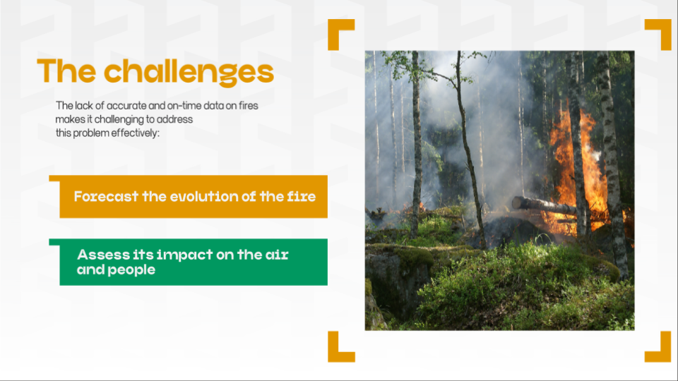
WildfiresUA is a system for analyzing and forecasting regional pollution of surface air with gas and aerosol impurities due to landscape fires in Ukraine since February 24, 2022.
On an interactive map, we display information about a particular fire, including its temperature, emissions (CO, CO2, NO2, SO2, PM2.5, PM10), coordinates, and area in km2. We also categorized the emissions by indicators and displayed the concentration of these impurities for a specific period of time to inform people in the areas that will be affected by the smoke.
We joined the development of a map of fuel resources, namely all forests and fields, for the whole of Ukraine, using satellite images.
Our team of Ph.D. experts is driven by a burning desire to create and extend WildfiresUA, a unique and valuable product that we believe has the potential to make a real difference.
bit.ly/WildFiresUA_