
Gallery
Description
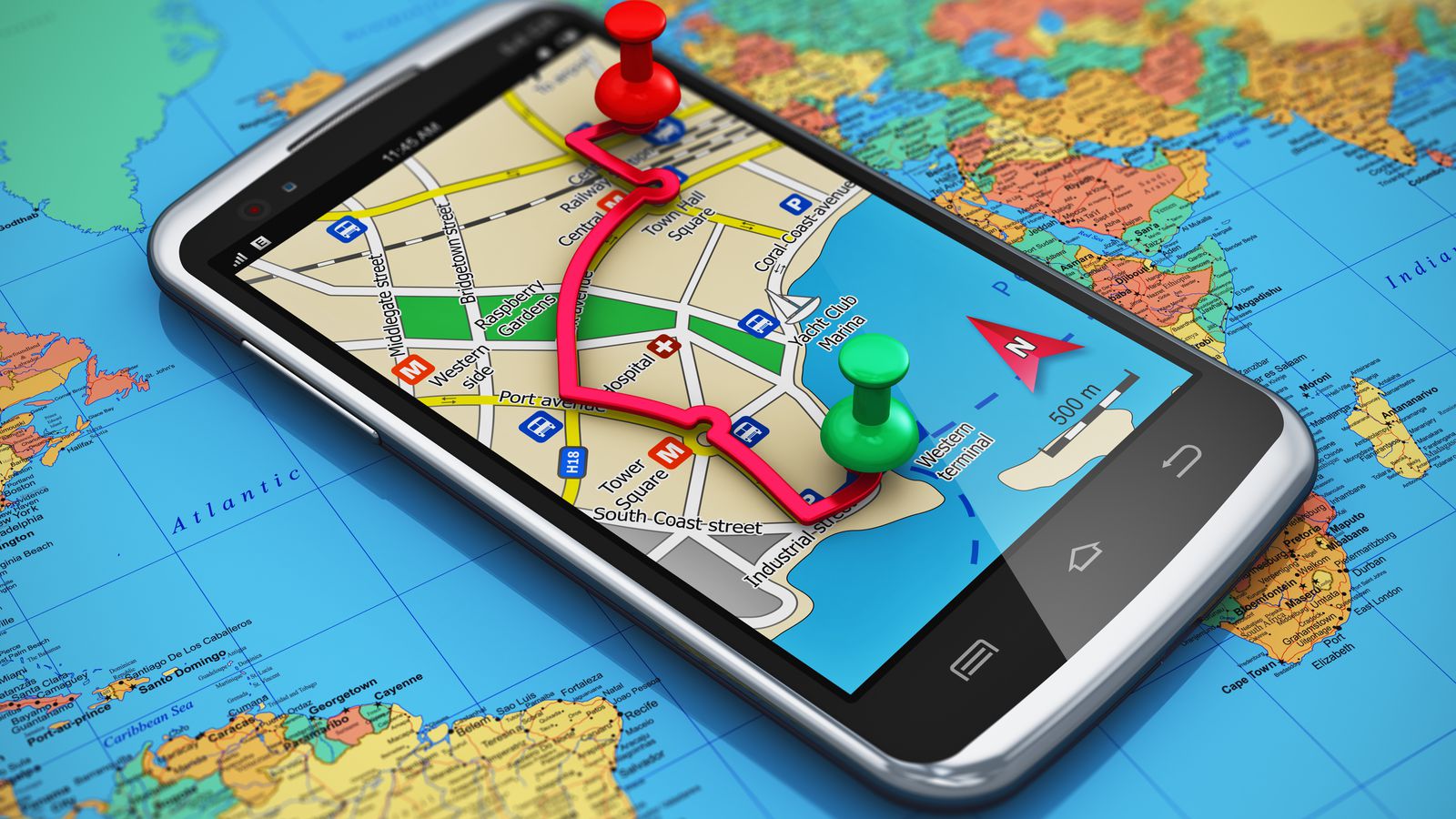
Тhe concept for an advanced navigation system on complex terrain in the EU. The use of satellite technology can prevent difficulties in getting from point A to point B.
Problem is
The problem is that this is a rather slow process if we stick to the methods known so far
nowadays it is very important to be able to provide security for the movement.
Our solution is through the creation of software based on artificial intelligence that immediately collects, processes, and analyzes information from many satellites and programs. We will use Copernicus and galileo and etc.
Our team
Nikolai Donkov- Captain and motivation maneger
Petar Tenev- Graphic Designer and magic mind
Yordan Kirilov- The critical thinker
Attachments
Copyright © 2026 All rights reserved. Powered by LayerX