
SafePathFinder
SafePathFinder: The ultimate travel companion for military & medical relief fields. Get accurate maps & safest route recommendations powered by machine learning.
- 93 Raised
- 234 Views
- 1 Judges
Tags
Categories
Gallery
Description
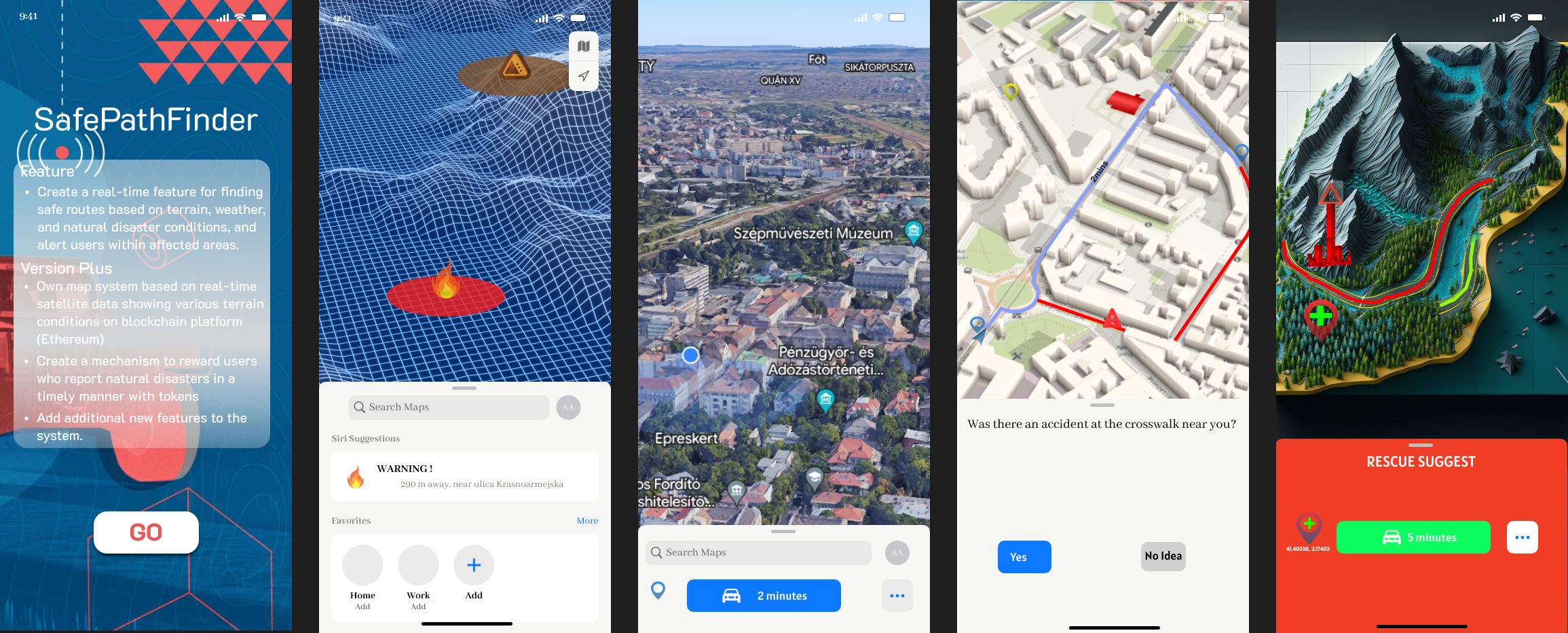
Introducing SafePathFinder, the ultimate mobile app for safe and efficient travel in military and medical relief fields, powered by machine learning! SafePathFinder is a powerful tool that uses machine learning algorithms to help users navigate their way around different locations while ensuring their safety. With its advanced mapping feature, SafePathFinder provides users with accurate and detailed maps of their area, including important information such as street names, landmarks, and points of interest.
But that's not all - SafePathFinder also uses data from various APIs to analyze the safety of the user's surroundings, identifying potential hazards such as dangerous streets, crime hotspots, and areas with poor infrastructure conditions. Based on this analysis, SafePathFinder's machine learning algorithm calculates the safest and most efficient route to the user's destination, taking into account safety factors and providing recommendations for alternative routes if necessary.
By leveraging machine learning, SafePathFinder constantly learns and adapts to new data, ensuring that its calculations and recommendations are always up to date and accurate. This makes it an essential app for military and medical relief fields, where time is of the essence and safety is critical.
Whether you are a military personnel, a medical relief worker or a volunteer, SafePathFinder with machine learning helps you to navigate through different locations while avoiding any potential hazards that may put your safety at risk. Download SafePathFinder today and take the first step towards safer, more efficient travel in military and medical relief fields, powered by machine learning!